Day 15 – Mountain Biking and HotPot

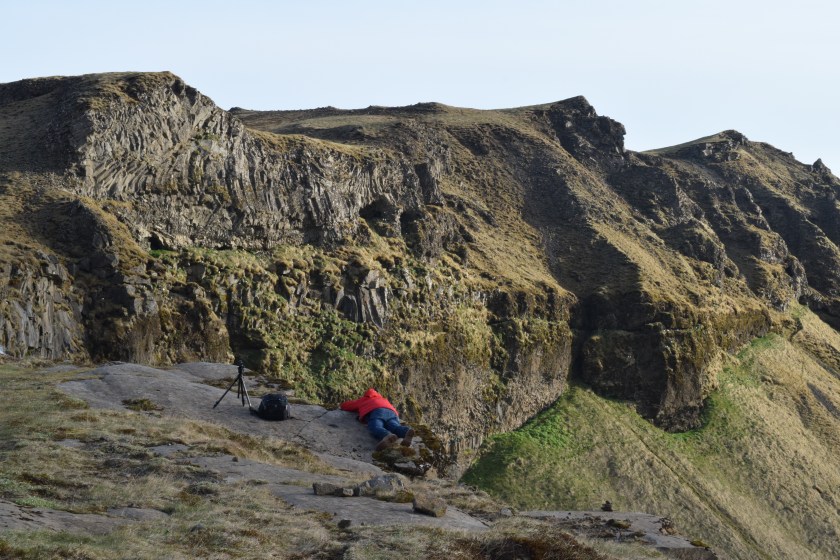
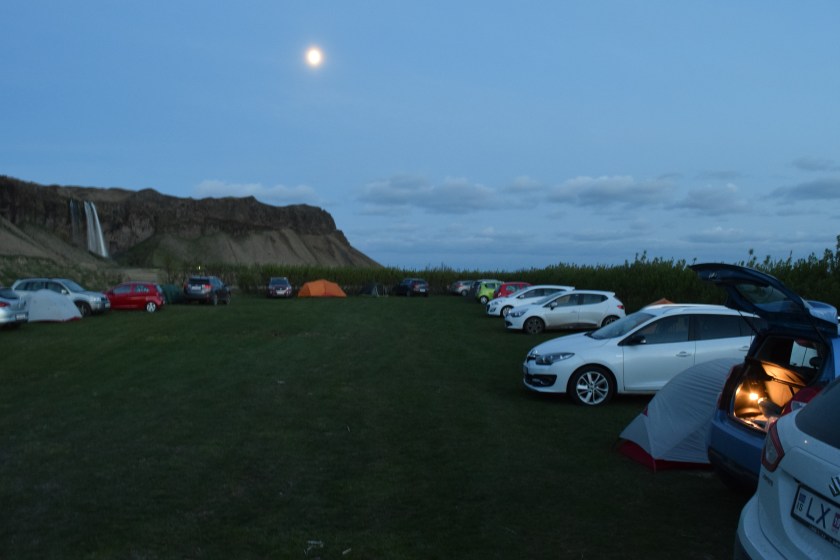
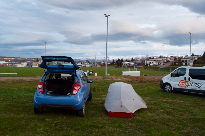
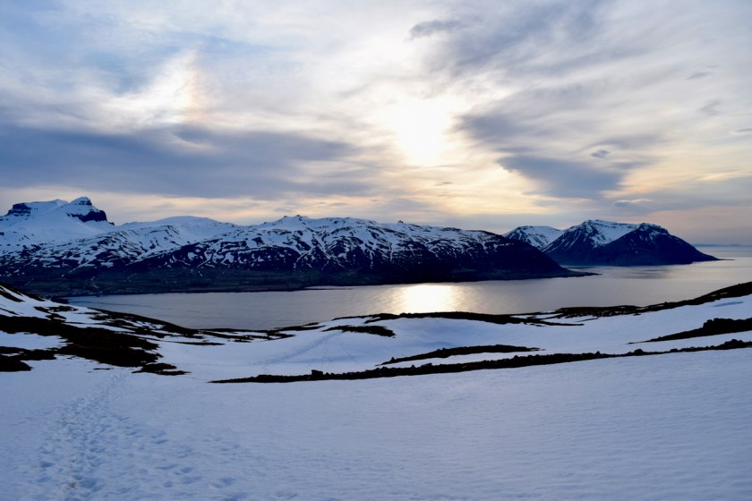
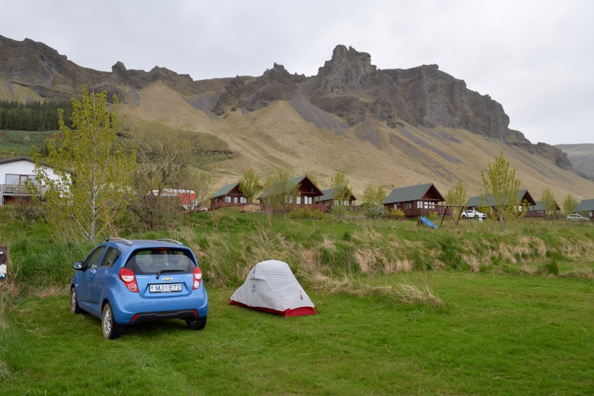
I woke up to pretty good weather. The wind last night wasn’t too bad, a little bit of tent-shaking, but nothing that it couldn’t handle.

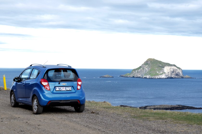
I was tired from driving around a lot the past few days. I had seen a mountain biking rental store on the way to the campsite. Biking through the volcanic fields sounded like a good way to spend the day.

IMG_4821
Awesome single-track to start

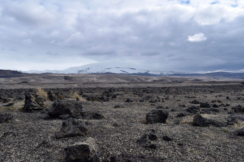
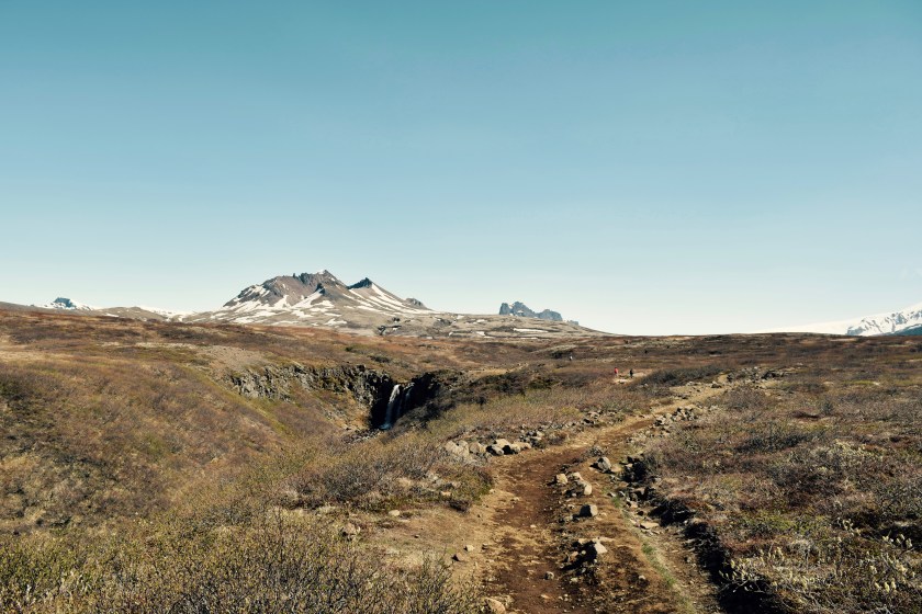
I mapped out a route that followed a hiking path for about 18kms. The ride started off well enough, single-track riding with some nice challenging rocks and jumps.

IMG_4828.JPG
Wider path with Hverfjall in the distance

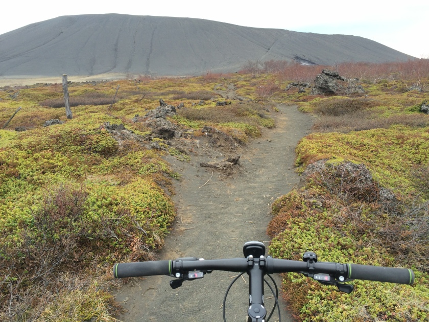
About 3kms in, the riding became much easier with a double-track and flat land. There were some sandy parts from the volcanic ash, but nothing too challenging. I covered major ground pretty fast.

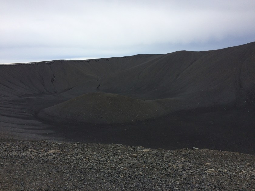
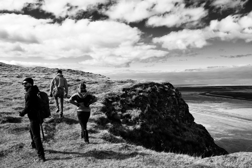
I got to the base of Hverfjall faster than I expected. Locking up my bike, I started the hike up to the rim of the crater.

IMG_4829.JPG
Hike up Hverfjall

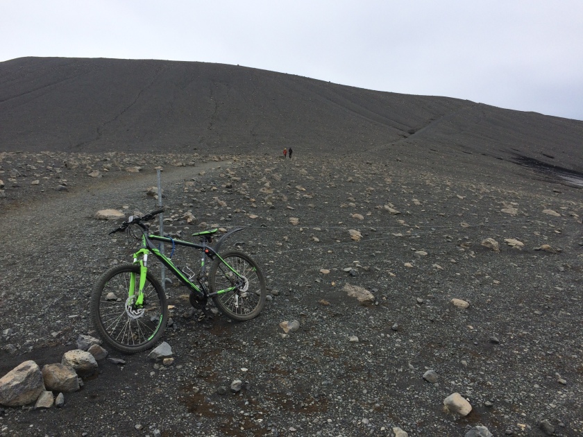
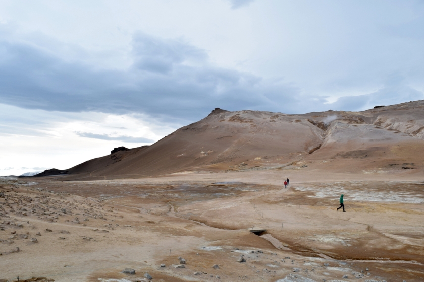
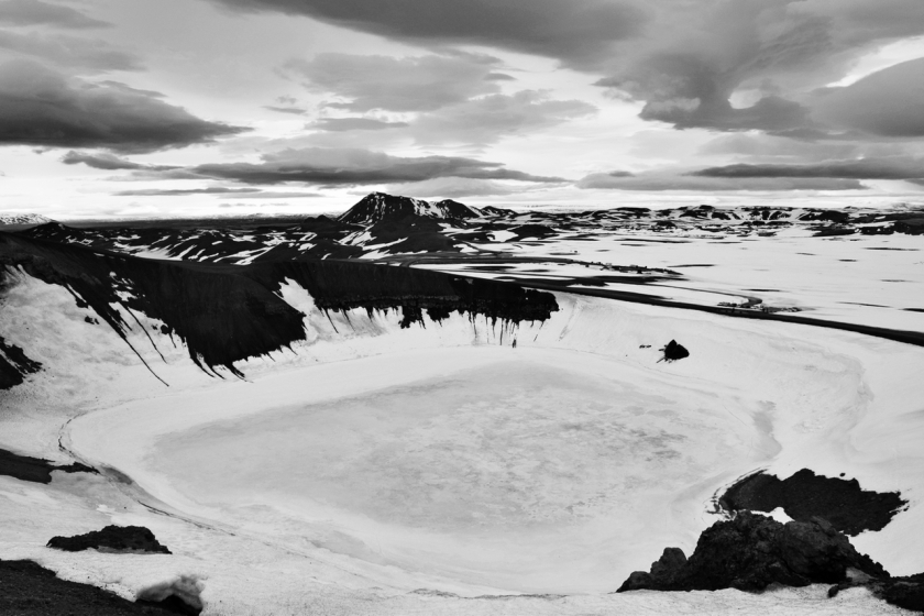
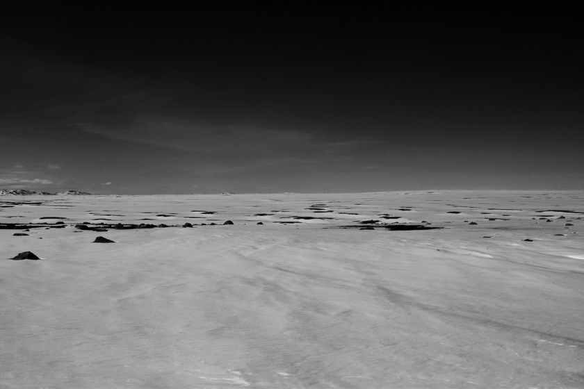
Getting to the top, there was wind. Ugh! And nothing much to see up here either. The crater was huge, but apart from walking around what looked like a big mound of black sand, not much to tell it was the site of a huge eruption 2500 years ago.

IMG_4832.JPG
Hverfjall Crater

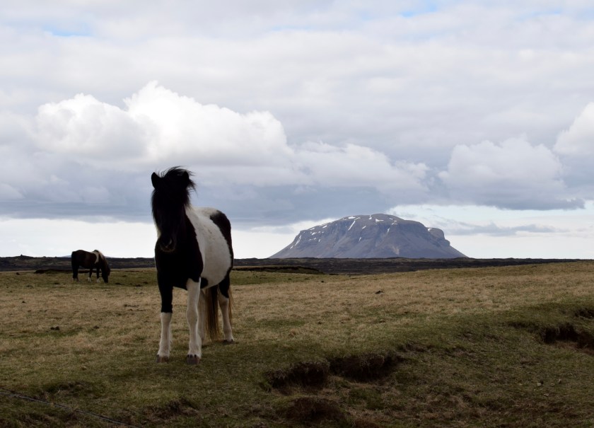
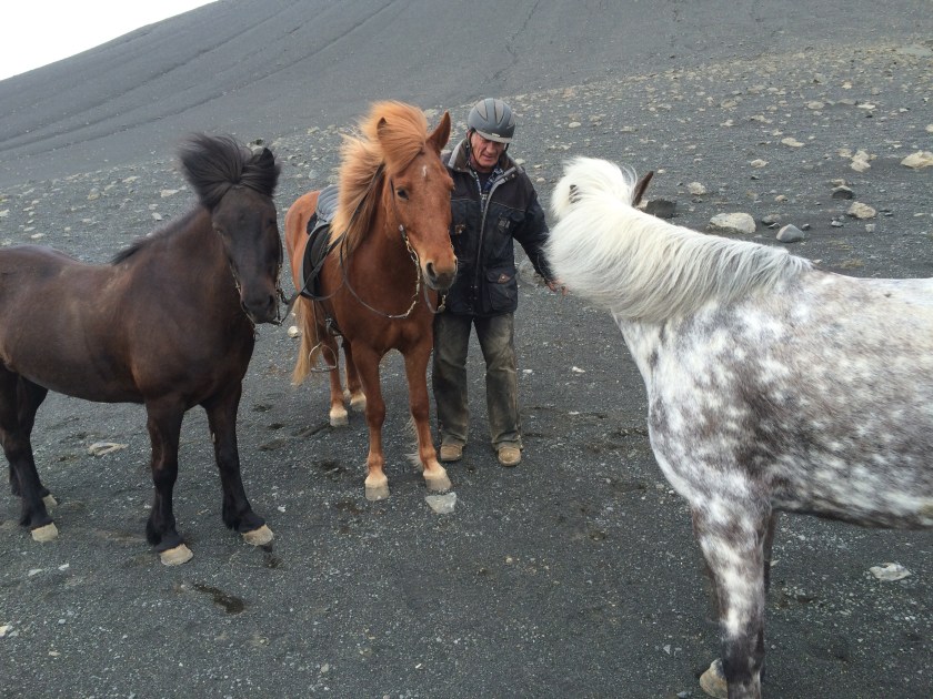
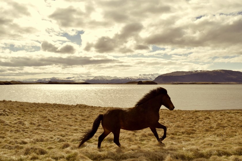
I hiked back down and decided to keep riding on. Found this guy travelling with 3 horses, which seemed even more fun than riding a bike.

IMG_4835.JPG
3 Horses and 1 Man

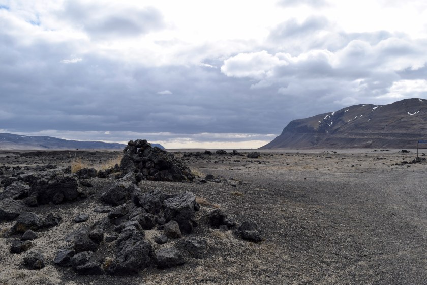
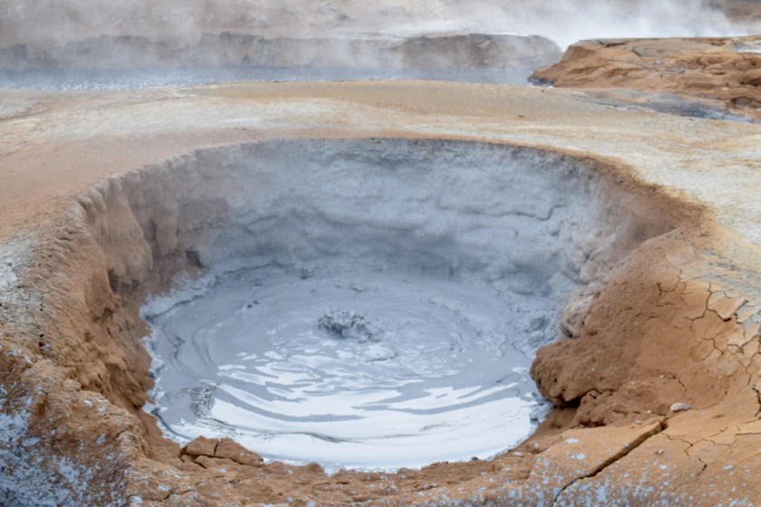
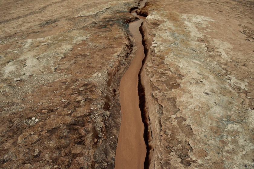
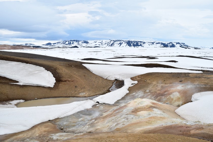
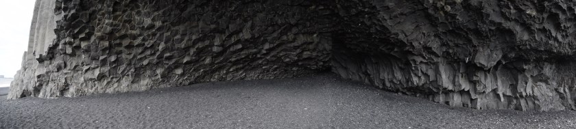
Next stop was Dimmuborgir, which is a lava field that solidified to create strange rock formations and caves. I enjoyed biking around here immensely, and spent the next 2 hours doing loops around the whole park.

IMG_4845.JPG
Riding through Dimmuborgir

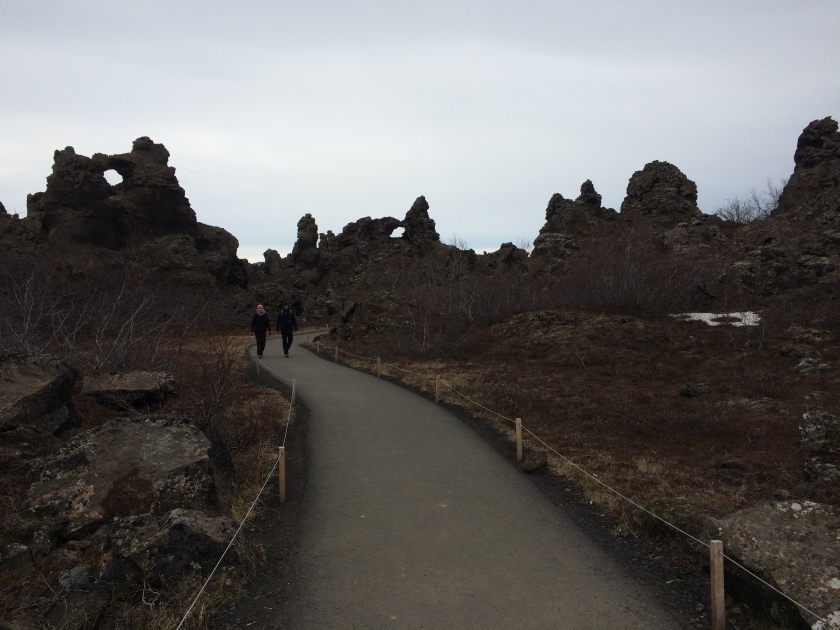
I explored some caves and the rock formations were kinda interesting. I was having more fun riding the bike though, and at one point I wasn’t even paying attention to the rocks. It was more fun jumping off them. Some of the other tourists seems a little disturbed by my antics, but I was zipping around too fast to hear them complain.

IMG_4847
Cave Exploration

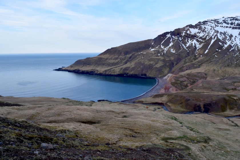
Last stop on my bike tour was Höfði. About 3 kms away.

This was not a biking path.

I first encountered rocks, that I had to walk up carrying the bike on my back. Then there was loose sand for about a kilometre, that I had to push the bike through. It was tough enough walking on it, let alone pushing a bike.

IMG_4852
Not a biking path

After a while, I had to climb back down from a hill, again through rocks carrying the bike on my shoulders.

I found a cave on the way down, which looked like it had people living in it! I yelled “HELLO”, but no one responded. I would have liked to meet a person actually living in a cave but I guess he/she wasn’t home.

IMG_4850
Cave home
IMG_4851
Cave home kitchen

More climbing, pushing and hiking with bike on back until I got to Höfði.

I was exhausted. I rode back slowly along the highway to the bike-rental store and returned the bike and got into the car.

IMG_4838
Riding back

I needed to cool off.

I drove to Jarðböðin, which is the natural bathhouse that was closed the previous day. Soaking in the silica-like water, I felt pretty relaxed. I met some people, but I don’t remember their names. Not that it mattered since I probably wouldn’t even recognize them if I saw them again.

I spent about 3 hours in there until the place closed down.

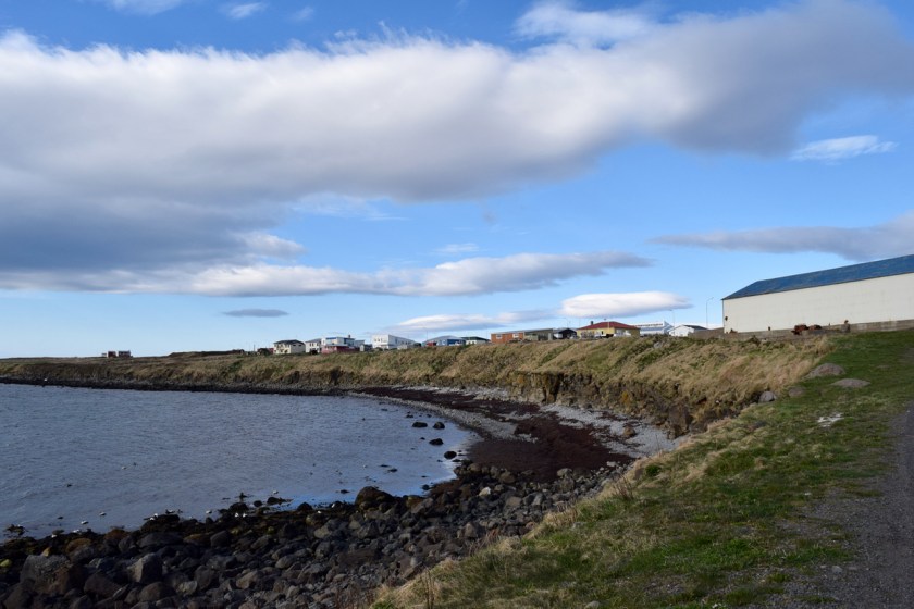
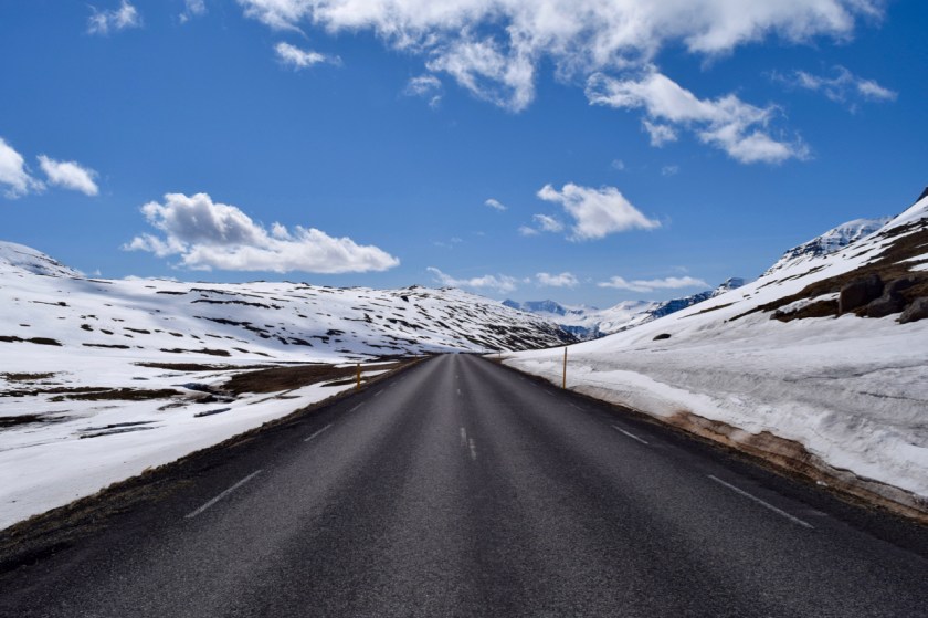
I decided to do the drive to Akureyri that night itself. Getting into the second largest city in Iceland, it suddenly felt too big and glitzy for me. I had gotten used to the village life over the past few weeks.

DSC_0827
Arriving at Akureyri

Day 14 – Wind

The wind last night was something else. Never experienced or seen anything like it before. My tent shook all night long (like that Led Zeppelin song) and I woke up multiple times wondering if the thing would tear.

I hung out in Husavik during the day. The town smells like fish. I like fish and I couldn’t handle it after a while.

DSC_0708.jpg

Husavik is the centre of whale-watching in Iceland. I walked around a few of the tour shops, and buying into the hype, was going to take an afternoon tour.

While waiting in line to buy a ticket, I saw a video of people on a boat looking at whales and it really didn’t seem that exciting to me. I thought about it and realized, I didn’t actually care to see a whale. It seemed like the thing to do, but it wasn’t what I wanted to do.

DSC_0715.jpg
Storm clouds moving in

Just as well I guess. The storm clouds moved in and all the tours were cancelled for the rest of the day.

I left around noon and drove to the Myvatn area which is a hotbed of volcanic activity.

DSC_0750.jpg
Hverir Geothermal Area

The Hverir Geothermal Area has a strong smell of sulphur, that permeates your whole being. Your car, clothes start smelling like rotten eggs.

The wind had really picked up at this point, and walking around was getting difficult.

DSC_0782.jpg
Boiling Mud Pot

The terrain around the volcano looks like another planet. The ground is hot, there is steam rising up through the cracks, and boiling mud pots that look downright scary.

DSC_0779 (1).jpg
Fissure

The wind was getting to me at this point. But I decided to power on and drove to Krafla, where you can walk right on the rim of a volcanic crater.

While walking up the crater, I saw a girl get lifted off her feet for a second by the wind. She started screaming and crying and had to be held down and carried back to the parking lot. Yep, the wind was getting that bad.

DSC_0799.jpg
Volcanic crater at Krafla

I got to the top, and hadto lean into the wind to stop myself from falling over. I walked around a bit, got this picture of the crater lake from up top.

Pebbles started flying around. A small pebble (or maybe ice) hit me right in the face. That was it, I called the whole thing off. I walked back to my car, barely making it one piece. A few more pebbles hit me, I lost my footing a couple of times from the wind and had to spider crawl down the ridge to make it to my car.

DSC_0810.jpg
Krafla Crater

Sitting in the car, it took me about 10 minutes to recover. My car was shaking like a leaf and I decided I was done for the day. I didn’t want to do anything more.

It was only 4pm though. I drove back back down off the volcano and to the local natural geothermal bathhouse, Jarðböðin which is supposed to be the Blue Lagoon of the north. It was closed due to high winds.

Not to be deterred (and maybe having forgotten how bad the wind is), I decided to grab one more sight in before retiring for the day. I drove to Godafoss, the God of Waterfalls.

DSC_0816.jpg
Godafoss

It was alright, nothing great. Kinda interesting I guess. The wind was still too much to walk around, so I retreated yet again back to the car.

I drove to the campsite, which was near Myvatn. Nice facilities, and goats to keep you company. I met a couple of guys from Bangalore at the camp kitchen. We hung out till pretty late into the night.

I pitched my tent right next to my car, strategically placed, hoping to shelter it from the wind tonight. If not, there might not be a tent tomorrow.

DSC_0820.jpg
2am dusk/dawn

Day 13 – 66° North

I wanted to camp above the 66°N latitude. I planned out my route for the day, which would bring me to camp at Raufarhöfn. This was the northernmost city in Iceland, right on the edge of the Arctic Circle.

To make it more interesting, I planned a few things to do on the way.

First stop was Vopnafjörður. Nothing happening here. Just a harbour town with a supermarket.

DSC_0592.jpg

Next on the route was Þórshöfn. Nope, nothing happening here either. There wasn’t even a supermarket.

I was getting some weird looks from people. I guess not too many people venture up here. Definitely not brown-skinned people.

At this point I had driven 200 kms and needed to get out of the car. My book guide suggested a hike in Rauðanes near Þórshöfn. Got to the turn from the highway and…

DSC_0595.jpg

At this point, I was in no mood to camp at Raufarhöfn. From what I could tell, there was nothing up there either. A quick look at the map showed that I could still camp above the 66°N at Husavik. And the town had a decent campground with things to do the next day.

I drove on. Passed some gorgeous beaches on the way. I stopped for lunch/dinner.

DSC_0610.jpg

I stopped in Vesturdalur at around 10 pm to do a hike in the horseshoe shaped canyon. I needed to stretch my legs, and this was the perfect place to do so.

The canyon has some really nice paths and waterfalls. I hiked along the known paths, and along the wall of the canyon until I got to a decent vantage point.

DSC_0645.jpg

I left at around 11pm and drove on to Husavik. Getting into the town, I was kinda relieved. After not seeing too many people all day, it was nice to see other cars at the campsite. I pitched my tent as the sun was coming up. It was windy so I really had to peg it down solid.

DSC_0704.jpg

Going to the north of Iceland wasn’t as great as I expected. There wasn’t much there, neither scenery nor people. The sun was harsh and it was windy. Well, I had driven right upto the edge of the Arctic Circle. I guess that’s something.

And I still got to camp north of 66°.

Day 12 – Puffins and Hiking

Seyðisfjörður -> Dyrfjöll

I woke up to see a huge cruise ship docked in the port at Seyðisfjörður. The campsite owner told me that a cruise ship sails in during the summer from Denmark, and brings about 1000 tourists in every week.

I took a quick hike to the nearby falls to get my blood flowing.

DSC_0807.jpg

Driving out, the streets looked a lot busier than anything I’ve seen in the past week since I left Reykjavik. I drove up through the mountains and out of Seyðisfjörður, which had been transformed from a quaint town to a tourist trap overnight.

These group of guys visiting from Taiwan decided they wanted to skateboard down the mountain.

pic3.jpg

The guy from last night had mentioned puffins again. That was the fifth time someone had mentioned them, I figured I should probably give these birds another chance.

He said Dyrfjöll has a whole nesting of puffins on its shores, so to Dyrfjöll it was.

pic4.jpg
Drive to Dyrfjoll

The drive is very picturesque. Mother Nature was out in all her glory. The ocean is turquoise, surrounded by mountains and plains.

Getting into the town, I drove straight to the marina where the birds were supposedly nesting. There were a lot of people clamouring to get a picture of them.

pic6
Seagull?

If you are a bird enthusiast, this is probably the place to be. There were birds swooping around in all directions, making strange bird noises and ofcourse pooping everywhere.

pic7.jpg
What are you looking at?

After about 15 minutes, I still hadn’t seen a puffin. I asked a guy. He pointed out a whole flock of them right in front of me. What! I never was good at finding things.

I got a few shots of this guy. He had a funny coloured beak, which was kinda cool.

pic8.jpg
Huffin n Puffin

Puffins can fly. Disappointing. For some reason, I assumed they were like penguins. These birds were flying all over the place.

I was done with birds for the day. I drove out of the marina and drove along the coastal road until I came across a sign that marked the trailhead for a hike – Brunavik.

The sign on the board said it was a 2.5 hour hike. It was about 7pm so I figured I’d be back by 9:30pm. Awesome.

pic10.jpg
Brunavik Hike

The hike seemed easy enough. Clear trail markings, not too steep. Beautiful walk in the setting sun. I had The Division Bell playing on my iPod and really enjoying the walk.

As I gained altitude, I hit snow. That was a little unnerving, but no biggie. I climbed on.

pic11.jpg
Snow!

Climbing uphill in the snow was harder than I expected. The snow had an icy layer on the top, and slushy at the bottom. I could feel the wetness creep into my shoes and my socks were starting to get wet.

pic12.jpg

A little further in, I came across these 2 holes in the ice! What the hell? I guess I was walking on ice with a stream that was flowing underneath me. Not good. I walked along gingerly hoping my leg wouldn’t fall though.

pic13.jpg
Looking West

The view from top of the mountain was epic! The rays of the setting sun, the mountains, the quiet and solitude made the icy hike and wet socks worthwhile.

DSC_0999.jpg
Looking East

I hiked down to the little refuge hut at the bottom, that marked the end of the hike. There seemed to a hidden beach at the end and I thought I’d eat dinner there.

At some point, I realized there was no way this was a 2.5 hour hike. It had already been 2 hours since I left the trailhead. Maybe the snow slowed me down?

I found some viking ruins on the way down. The vikings were better at plundering than building. This “dwelling” was just stones placed on top of each other.

DSC_1014.jpg
Viking Ruins

Getting down to the hut, I opened the door hoping to find a log book, maybe some cool pictures. Instead, I found a creepy looking windowless hut that I didn’t want to step into.


I could have been without seeing that. It creeped me out.

I ate a dinner chilling on the hidden beach. It was serene and peaceful. I thought I saw a seal but it was just driftwood.

DSC_1043.jpg

It was 10pm when I started back. Lucky for me, it doesn’t get dark anymore. I got to the mountain pass pretty fast, and this time it was easier knowing exactly where I was heading. I felt at peace with the world on the hike back. This was a panaroma I took at the top of the pass, right before heading back downhill.

DSC_1068.jpg

I was clomping my way back downhill in the snow, pretty much sliding down the ice and enjoying it too. I had totally forgotten about the 2 holes in the ice that I had encountered on my way up. Before I knew it, my right leg went through the ice and I fell right in. It wasn’t a big fall, but the shock factor is what got me. Also, my right leg was completely wet. Argh!

DSC_1071.jpg
Third hole I made in the ice

I pretty much ran back down. My toes were freezing and I was getting cold. I got to the car at around 12:30. Looking at the trailhead marking, I realized the hike was 2.5 hours EACH WAY! Oh. That made more sense.

DSC_1075.jpg
Back at the trailhead

Great hike overall. I would rate it as easy and one of the best ones I have been on.

I went back to the campsite and pitched my tent. I saw a few puffins hanging around nearby. They saw me too. We shared a mutual disinterest in each other.

Day 11 – Highlands and back

Neskaupstaður -> Seyðisfjörður

I woke up excited about the drive back up into the clouds, through the tunnel and back down into Reyðarfjörður . Skipping breakfast, I hit the road.

pic1.jpg
Drive into the clouds

The drive didn’t feel as magical as it did the night before. Maybe it was the sun, or the construction workers I passed by on my way up, or maybe even that I knew what to expect. It was enjoyable, nothing special.

pic2.jpg
Lake Lagarfljot

Driving through the major town Egilsstaðir, my road map showed a hotpot on Rte 910, which was about 50kms away. It looked pretty isolated. I imagined a hottub surrounded by mountains and waterfalls. Sounded like a good way to spend the day.

Getting to the start of the road, I was welcomed by this sign.

pic3.jpg

In these situations, it always helps to have another person to sanity-check your decision.

Driving up the road was easy enough. The road was well paved, and wide corners with guardrails. After Rte955 yesterday, this was a piece of cake.

pic4.jpg

I drove pretty high up for about 20kms. The Spark was struggling to keep up with the steep inclines.

Finally getting to the top, I was greeted by what looks like an Arctic desert. Miles and miles of nothing. Just flat land and snow.

pic5.jpg
Arctic Desert

I was a little unsure about this. But the road was clear, so I drove on.

About 15-20 kms in, Vatnajökull emerged out on the horizon. It looked massive, especially surrounded by flat land all over. At this point, I realized I was in the highlands, and I was considering turning back.

But the allure of a hot-tub in the highlands was too great to resist. And with Vatnajökull in the background? That sounded epic. I can’t turn back now.

pic6.jpg
Clear road ahead

Driving on, I saw a jeep! First car since I had passed the sign.

The couple looked like tourists, they were taking pictures. I drove over to them. I think we were both mutually glad to see each other in this wasteland.

The wife looked rattled. She asked me if I knew if this road was safe. I had no idea. I told her I just wanted to get to the hotpot in the highlands. I sold them on the idea of a hot-tub surrounded by glaciers and snow, they bought it, and we decided to drive on as a team, keeping an eye out for each other.

pic7.jpg
Ploughing through snow

As we headed on, the roads got worse. More snow, and the little Spark definitely wasn’t made for this.

pic8.jpg
Nope

I decided to turn back. The couple in the jeep had gone ahead of me and there was no way for me to tell them that I was turning back. I honked a few times, but the snow absorbs all sound. Whatever, they’ll figure it out eventually.

I was kinda bummed about not getting to the hotpot, but I think getting stuck up here would have been horrible. The trek back down was about 60-80kms and I am no Hugh Glass.

pic9.jpg

As I drove back, I stopped to take some pictures. I saw the couple in the jeep heading back too. They said the road ahead was completely snowed in and impassable.

They seemed kinda upset that I had abandoned them. I didn’t bother explaining about honking and the snow absorbing sound theory I had. I don’t think it would have mattered.

That was enough excitement for me today. I drove back down out of the highlands, and up north to Seyðisfjörður, which is a beautiful town nestled between two fjords.

I soaked myself in the local swimming pool and chatted with a few locals about what life was like in a little town in Iceland.

It wasn’t a hot-tub in the highlands, but it was a pretty damn good in its own way.

Day 10 – Eastern Fjords

Höfn -> Breiðdalsvík -> Reyðarfjörður ->Neskaupstadur

I woke up to the best weather on my trip so far. The girls (from Quebec City!) in the tent next to mine were planning their trip to Bakkafjörður in search of puffins. I had seen puffins at Vik a day earlier, I didn’t find them particularly interesting.

DSC_0587
View from town of Hofn

I hung out at the campsite all day and spoke to the campsite owner. She said she was stressed about the increasing number of tourists coming to Iceland. She was unable to handle the crowds. I thought she’d be excited about more business but she wasn’t.

DSC_0604.jpg
Heading out from Hofn into the Eastern Fjords

I planned to drive along the Eastern Fjords today, all the way to Neskaupstadur depending on the time.

Driving in the fjords takes longer than I expected because of the treacherous winding roads. The scenery is incredible and very distracting when you are taking hairpin bends.

DSC_0622.jpg
Driving through the Fjords

I could have used another driver to switch with, but instead wound up taking a lot of breaks and stops. About 5 cars passed me the whole day.

The mountains are massive. I took a picture of a freight-carrying ship sailing into one of the Fjords for scale.

DSC_0610.jpg
That little dot there is a freight carrying ship

There are 2 roads from Fáskrúðsfjörður to Reyðarfjörður – Rte 96 (which goes inland and skips the coastline) and Rte 955, which goes along the coastline of the fjord. I decided to take Rte 955.

About halfway in, the road turns into a crummy gravel road. The little Spark had a tough time taking uphill climbs on gravel, I stalled a few times, and heard a few huge rocks hit the undercarriage. Not a good time. I was gripping the wheel pretty hard.

DSC_0644.jpg
Terrible Rte 955

I was mentally exhausted by the time I hit the town of Reyðarfjörður. Searching for the campsite, I saw that it was closed. Infact, the whole town looked closed. Where is everyone?

I guess most tourists do not leave the main ring road – Rte 1. It is very rare that someone ventures off (probably for good reason too) and so most businesses, campsites etc off the ring road close at like 4pm. The whole town had 4 houses and the lights were off.

At this point, It was ~11pm. I decided to just go to Neskaupstadur. According to my Lonely Planet guide, it was one of the bigger towns in the Eastern Fjords.

Driving to the town was a surreal experience. First, the road winds up a mountain until you get really damn high up there.

DSC_0688.jpg
Rising moon on the drive to Neskaupstadur – way up high

As you keep climbing, you get to the snow covered peaks of the Fjords. The road ended in this narrow single-car tunnel that goes right through a mountain.

DSC_0719.jpg
Tunnel

I sat there for nearly 5 minutes, seriously considering if I want to enter or not. Well, I came this far, no point turning back now.

The tunnel is about 650m, although it felt much longer. I had an insane adrenaline rush as I zipped through as quickly as I could.

Coming out the other side was like entering into a new world. The rays of the rising sun over the Atlantic lined the mountains, there was no wind, the snow was white and beautiful and I felt pretty lucky to be here, at this time, in the present.

DSC_0725.jpg
Other end of the tunnel

I descended into Neskaupstadur, what feels like a drive down from the heavens. They were playing Atom Heart Mother on the radio, which added to whole effect. Dreamy.

The campsite was empty, there was still snow on the ground, the temperature (according to the thermometer as you enter town) was -1C. I really had nothing to complain about though. Today was a good day.

Day 9 – Glaciers

I woke up at 4:45am thinking it was noon. It definitely felt like noon.

Packing up my tent, I noticed one of my poles was slightly cracked at the end. Probably from the wind at Vik. A brand new tent only been used for a week, kinda disappointed with MSR. Then again, maybe it was my fault was leaving it out there all day. Hopefully holds till the end of my trip.

DSC_0957
Road to Jokusarlon

Jokusarlon is a glacier run-off from the massive glacier – Vatnajokul. As I approached the glacier, the enormity of the thing blew me away. From a distance or on camera lenses, its hard to capture the scale of objects.

I pulled off into Vatnajokull National Park to do a few hikes. It was only 8am-ish and I figured I could do with some sweating.

DSC_0986
Hiking in Vatnajokull National Park

About 3 kilometres into the hike, I came across Svartifoss. It had these strange rock formations that looked like they had been chiselled out of the rock by a sculptor. I spent about half hour there and ate my lunch or breakfast.

DSC_0983
Svartifoss

I should look up how they were formed, but after days of reading about erosion and rock layers and fissures, I didn’t particularly care.

I ventured on further for about 3km and came across a viewpoint looking into the glacier run-off. Whoa!!

DSC_0999

This sounds cliched, but this thing really puts into perspective how tiny and insignificant we are. Just little dots buzzing around this massive hulking creature thats been around for ages.

I spoke to this hippie-looking dude. He looked interesting. Turns out he’s from La Prairie, Quebec. He had been hitchhiking around the island for the past few weeks. Quebecers are one of the most adventurous people I have met.

DSC_1016

Heading onwards, I got to Jokusarlon, which is a glacial lagoon. The glacier has been retreating for the past few years and massive hunks of ice break off and float in the crystal clear water.

DSC_1026.jpg

DSC_1037.jpg

I walked along the shore, used a stick to steer a piece of floating ice towards me. I broke off a chunk and ate it. It tasted like ice. Not sure what I expected.

DSC_1032
Glacial Ice

After leaving Jokusarlon, I was flagged down by a couple on the highway. I pulled over and saw that their car was in the ditch. They said they were driving along, distracted by the scenery and went off the edge!!

IMG_4746

Their english was subpar and they were visiting from Shanghai. I offered to take them to the nearest town and help them find a tow truck.

The car ride there was very tense. The wife was super-upset, and I tried making conversation but the man only responded in grunts. I made a joke about how they weren’t helping the asian driver stereotype hoping to lighten the mood. It didn’t help at all.

We got to Reynivellir and after I saw that they had the help they need, I grunted a good luck and bid adieu.

Beautiful wild(?) horses running around on the way to Hofn. I had to stop a bunch of times and it made the journey longer than expected.

DSC_1085
Running Wild

By the time I got to Hofn, I was exhausted. I went to the local swimming pool, unwound with a hot-bath/cold-bath combo, swam a few laps and drove to the campsite. Awesome day. I wrapped a piece of cloth around my head so I should make it to later in the morning.

Day 8 – Black Sand and Airplanes

Vik is windy. I thought my tent might fly away with me in it last night. Inspite of this, I lazed out and decided to leave my tent in Vik and head back west to check out the black beaches before continuing east later tonight.

Reynisdrangar beach is right at the foothill of a cliff that has interesting patterns due to erosion. This mixed with the black sand and rising rocks from the sea gives it a game-of-thronsey feel. The below picture is in colour.

DSC_0818.jpg
Dragonstone

I found a cave I liked. Felt kinda homely and a good shelter from the incessant wind. It almost had an apartment feel to it.

DSC_0800.JPG
Cave Apartment

I drove out to Dyrhólaey a little further west along the shore, which is on a cliff.  The ocean was rough and the waves were ten feet high. Definitely glad I didn’t take the ferry to Vestmannaeyjar yesterday.

DSC_0883.jpg

I got a little adventurous and tried driving up a side road – Rte222 that leads to a glacier run-off. My car made it about a kilometre before I got to a steep gravel road that was too much for the little guy. I had to reverse back downhill. I pulled over to the side and saw this monstrosity barrelling down the road. The driver waved at me, stopped and told me I’m crazy for trying to take my car up here. Ok, maybe not my brightest idea.

DSC_0904.jpg
Hey You!

Next stop was the site of the US Navy plane wreck from when it crashed in an open field by the sea in the 70s. I had seen pics of it on the Internet and figured it would be a good photo-op.

Parking the car off the ring road, the trek is a 8km round trip to the site of the wreckage. The wind was insane, there was black sand flying everywhere and reminded me of being  stuck in crazy sandstorms when I was a kid.

The plane itself was an interesting subject to shoot. Kinda worth it, I guess.

DSC_0924.jpg


DSC_0909.jpg


DSC_0918.jpg

Trek back to the car was just as bad. At that point, I was done with the “magnificent black beaches” of Iceland.

Generally, I have a dislike for sand growing up in the desert. I can handle white Florida sand, but black sand is even worse as it is much coarser. I got back in my car, got to Vik, packed my tent up in a haste, and got off the coast asap.

Spotted these guys on the way. Living the good life.

DSC_0855.jpg

Driving further east, I camped at Hörgsland. The horses in the field next to my campsite were pretty interested to see a tourist. The sun seems to up even later now. I need to get eye-patches or something.

DSC_0943.jpg

DSC_0942.jpg
11pm

Glad to be off the windy coast. On to Jökulsárlón tomorrow.

Day 7 – East to Vik

7am is the earliest I have woken up so far. The hike up the same path I had taken last evening was more enjoyable in the morning air. Dave, Eli and Ani were good company as well as we made it up to the top of the falls.

DSC_0626.jpg
Hiking up

At the top, we saw some mist in the distance. Another waterfall? Maybe a geyser? We trekked further up the stone road to check it out.

Up there, we found the most gorgeous waterfall, hidden in a little canyon-of-sorts (these aren’t technical terms). There was grass growing all around it and it steeply led to the bottom of the falls.

DSC_0608.jpg
Eli found a way to the bottom

Sitting on the grass and watching the falls, I felt like I was living in a dream. I get into this dream-like state at times, where I feel like my reality is an illusion. I feel kinda weightless and exhilarated, yet calm. There is also a strong sense of deja-vu, like I have been here before.

We got back down, had breakfast and parted ways. I decided to drive out to the harbour and catch a ferry to Vestmannaeyjar. Once I got there though, the strong winds, expensive ferry tickets and the inhospitable looking island put me off. I snapped a quick pic of the black sand on the beach and got back in my car to head further east.

DSC_0644.jpg
Vestmannaeyjar in the distance

On the way to Skogafoss, I passed Eyjafjallajökull which is the volcano that erupted back in 2010. I stopped at the visitor center to check out the exhibits and watch a quick 20-minute documentary on life before, during and after the natural disaster. Powerful movie, really gave me a lot to be thankful for. Mainly not living near a volcano.

Skogafoss popped up as I drove along. I stopped by and saw a beautiful rainbow form at the base of the waterfall. This little girl was trying to find the pot of gold at the end of it and got pretty wet in the process.

DSC_0676.jpg

There is a hike above the falls called Fimmvörðuháls that takes you between the 2 glaciers and all the way to Posmork. Its about 25 kms long and full of waterfalls and magnificent views along the way. Apparently, the hike is closed till June 1st due to snow. I hiked for about 5 kms before turning back. Maybe some other day.

DSC_0735.jpg
Hiking in the clouds

Exhausted from the early start, I drove on to Vik where I decided to set camp. Vik is famous for its Black Beach, which should be fun to explore tomorrow. The view from my tent-spot was incredible.

DSC_0765.jpg
Camping in Vik

Day 6 – Lava Fields and Waterfalls

Arnes -> Poristungur -> Hekla -> Seljelandsfoss

I woke up in Arnes hearing some kids playing by the river. Pretty glad I wasn’t completely alone in this town.

Instead of heading back to Selfoss, I decided to drive towards Poristungur, which is further into the highlands.

DSC_0300.jpg
Driving up Rte26 to Poristungur

I drove for about an hour without seeing a single other vehicle on the road. It was desolate, to say the least. Walking in the middle of the highway? No problem.

DSC_0336

As I headed further in, I saw these 4WDs heading out from further inland. Not sure how much further I could take my little car.

DSC_0312.JPG
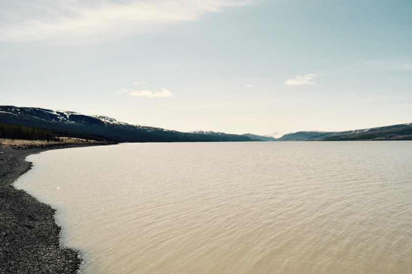
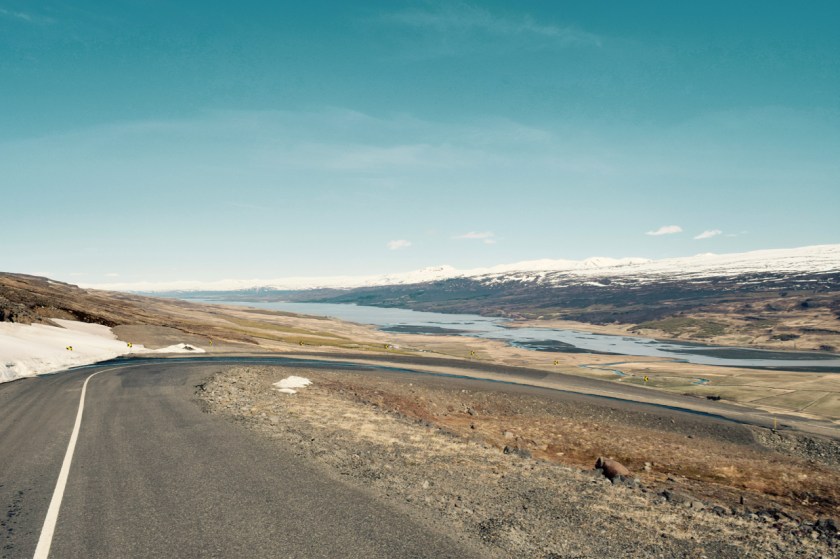
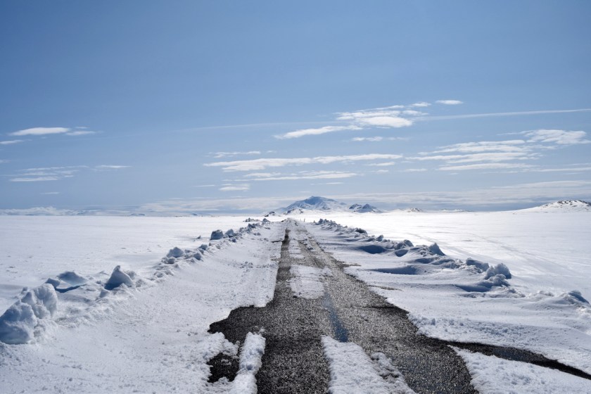
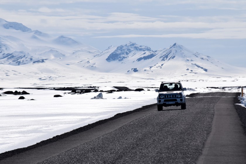
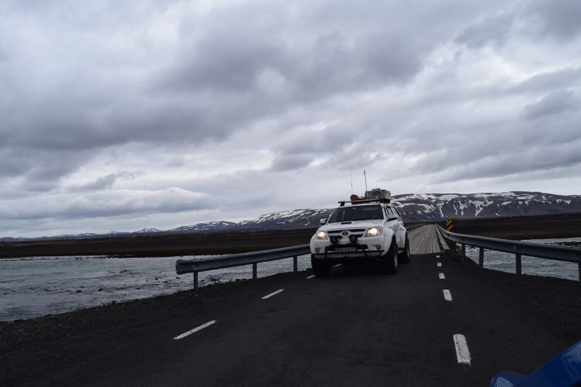
The road goes along the Pjorsa River all the way into the highlands until you get to a huge power plant on a lake in the mountains.

DSC_0326.jpg

Its pretty hard to describe or even capture on a camera what you see out there. The lava field, distant glaciers, volcanoes, glacial lakes, mixed with no other human in sight makes it all very overwhelming, epic, scary, wonderful all at once.

I drove back along a gravel road through the lava fields of the Hekla Volcano. This is one of the most active volcanos in Iceland and there are warnings strewn all over to keep your cell phone active incase there is an eruption. Not sure how getting a text message will help when you are fleeing from molten rock.

DSC_0365.jpg

Lava ash fields all around with rock debris from the last eruption of Hekla in 2000. It reminded me of the The Martian movie with Matt Damon.

DSC_0373.jpg
Rock debris from last eruption in 2000!

I stopped the car and walked around for a bit in the lava field. After walking around for about 5 minutes, I got to a part where my foot sank in upto my ankle and the black ashy sand started shifting and flowing away. This, along with the fact that there was absolutely NO ONE around, and all the warnings everywhere, kinda freaked me out. I got back in my car and drove the hell outta there.

DSC_0384.jpg

As I drove out, I saw the first sign of life after more than half a day. Horses woohoo. Iceland horses are so photogenic, they could be on magazine covers.

DSC_0411.jpg
Hamming it up

I got back onto Rt1 (the famous ring road) somewhere near Hella. I decided to head to Seljelandsfoss.

The falls here are definitely more interesting than Gullfoss. You also get to walk behind the falls which makes for interesting colours as the sun sets.

DSC_0482

I saw some people hiking up a path to the top of the cliff. Following them, I came up to a high plateau. A volcano peaked out from behind that looked epic in the setting sun. The path lead right up to the top of Seljaladsfoss.

DSC_0555
Way High Up

This dude thought it was a good idea to lean off the edge to get a shot. Watching him made me skirmish.

DSC_0549
Darwin Award Candidate

I walked back down and went over to the campsite next to the falls. Excellent facilities.

I met a couple of guys from Montreal, Dave and Eli and a girl from Germany Ani. We hung out and chatted it up about this and that. After ~24 hours in isolation, I soaked up the social interaction like a sponge.

The owner of the campsite, a friendly Icelandic man filled us in on stories of life in Iceland and during the 2010 eruption. I asked him if he ever considered leaving the island during the disaster and he said that the thought never crossed his mind. I would have packed my bags as soon as I saw smoke.

We ended the night with a shot of Icelandic Liquor, Opa. It tasted like Buxleys Cough Syrup.

As I walked back to the tent, I saw the moon was out. Awesome day. The four of us are planning a 7am hike tomorrow morning.

DSC_0579